Professional Land and Measured Building Survey Company
Commercially focused surveying consultancy delivering survey grade data on complex UK projects – measured building surveys, 3D laser scanning, BIM-ready models and drone surveys for developers, architects and estates teams.
5/5
(142 reviews)
Industry Leading Certifications
Our Surveying Services
A complete suite of land, building and 3D survey services for commercial, public sector and large-scale residential projects. Every output is referenced to a controlled survey network and delivered in the format your design and construction teams need – CAD, Revit, point cloud or BIM.
Land Surveys
Topographical and boundary surveys for site appraisal, planning submissions and detailed design, captured with GNSS and total station for survey-grade accuracy.
Land Surveys
Topographical and boundary surveys for site appraisal, planning submissions and detailed design, captured with GNSS and total station for survey-grade accuracy.
Measured Building Surveys
Floor plans, elevations and sections for refurbishment, fit-out, leasing and asset management across retail, office, industrial, healthcare, residential and heritage assets.
Measured Building Surveys
Floor plans, elevations and sections for refurbishment, fit-out, leasing and asset management across retail, office, industrial, healthcare, residential and heritage assets.
3D BIM Surveys
3D BIM Revit Ready Models – Architectural Revit models built directly from point cloud data, structured to your client BEP and LOD requirements.
3D BIM Surveys
3D BIM Revit Ready Models – Architectural Revit models built directly from point cloud data, structured to your client BEP and LOD requirements.
Utility Surveys
PAS 128–compliant underground utility detection and mapping, including desktop searches, GPR and EML scanning to reduce risk before works begin.
Utility Surveys
PAS 128–compliant underground utility detection and mapping, including desktop searches, GPR and EML scanning to reduce risk before works begin.
Drone Surveys
CAA-compliant aerial surveys for orthophotography, volumetric calculations and inaccessible roof or façade inspections, ideal for large sites and live operational environments.
Drone Surveys
CAA-compliant aerial surveys for orthophotography, volumetric calculations and inaccessible roof or façade inspections, ideal for large sites and live operational environments.
Site Engineering
Precise transfer of design data to site, from foundations and structural grids to drainage and façade lines, keeping construction true to the model.
Site Engineering
Precise transfer of design data to site, from foundations and structural grids to drainage and façade lines, keeping construction true to the model.
Surveying partners and projects


See what we've been working on
Measured Building Survey – Mercure Manchester Piccadilly Hotel
- Measured Building Survey
- Manchester UK
Brass Mount, Tower of London – Measured Building Survey & 3D Model
- Topographical Surveys
- London UK
What our customers say
Test Name 2
Test Name 2
Coop
Coop
With over 25 years' experience, our team can tackle any survey, from single buildings to large scale commercial schemes.
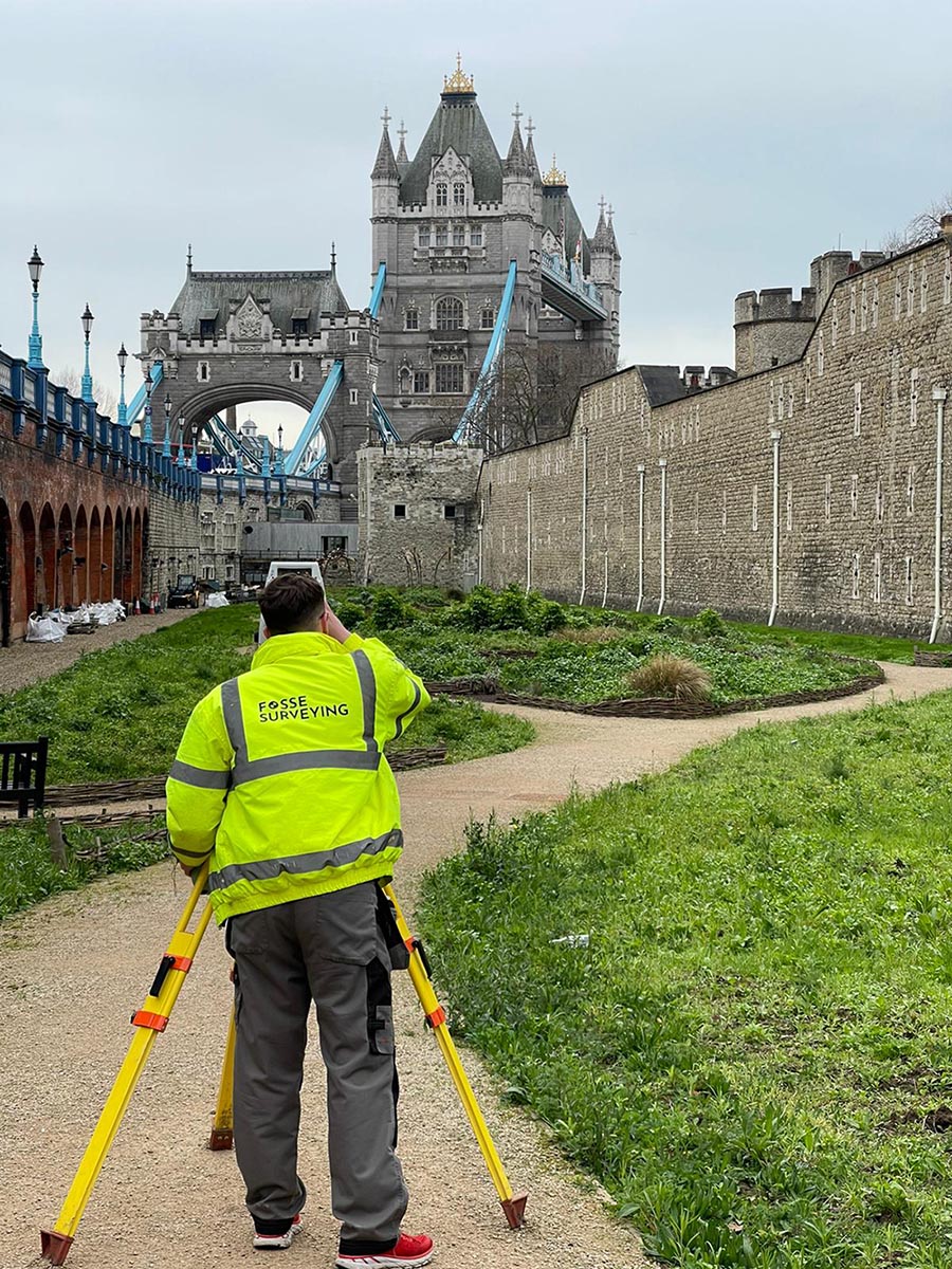
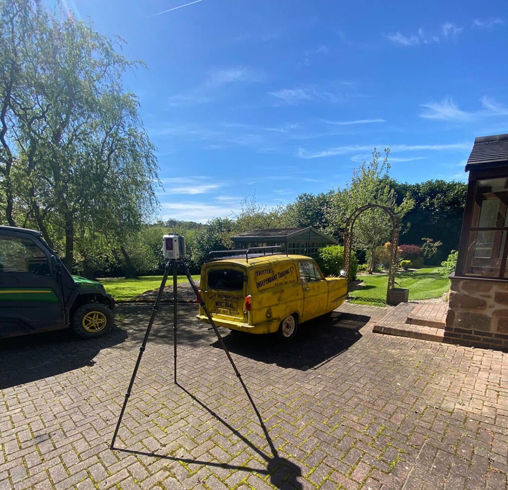
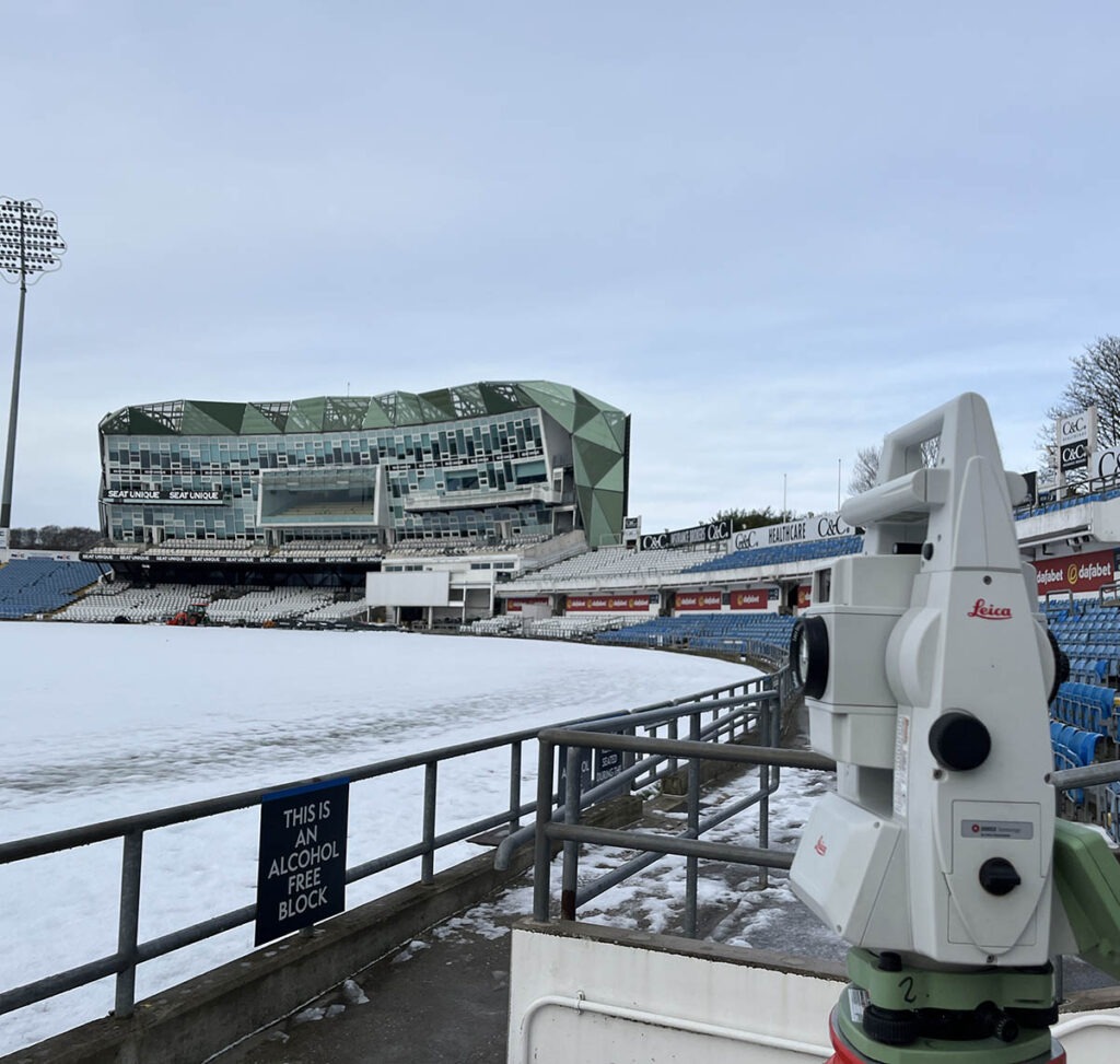
Fosse Surveying is a professional Land and Measured Building Survey company operating from offices in the East Midlands and delivering UK-wide. We combine 3D laser scanning, drone capture, total station and GNSS workflows to produce survey-grade data, BIM-ready models and CAD deliverables that reduce risk on complex projects.
We work closely with developers, architects, engineers and estates teams to understand the design and construction outputs you need and engineer the survey backwards from there. The result is data that integrates cleanly with your workflow, prevents costly design errors, and gives your team the confidence to make decisions.
A track record built across commercial, public sector, heritage and residential projects nationwide.
A full suite of land, measured, 3D, utility, drone and BIM services delivered through one integrated team.
Surveyors, technicians and BIM modellers working from controlled survey networks to BIM-ready outputs.
Get in touch today
If you’re looking for a company that provides high quality surveying that offers an excellent all round customer experience, you’ve come to the right place.
- 0116 2325169 office
- 07359 617813 on-site team
- mail@fossesurveying.co.uk
Field notes from our surveyors
3D Laser Scanners a Perfect Tool for Surveyors
What is a Measured Building Survey?